
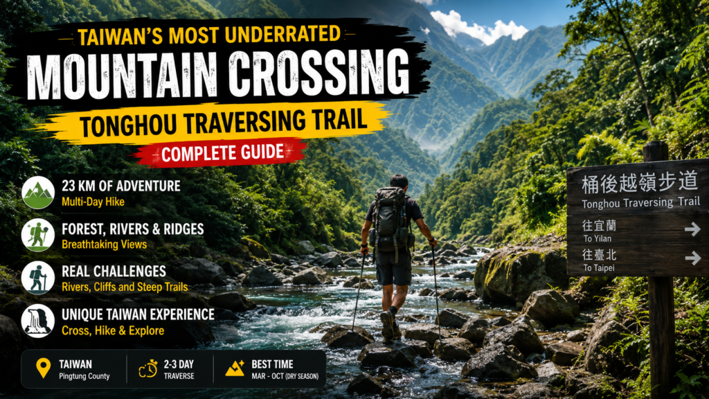
Many hikers reach a point where normal trails start feeling repetitive and predictable. Easy paved paths and crowded viewpoints no longer provide the sense of discovery that nature is supposed to offer.
This is where confusion begins for many travelers who search for something more real, more wild, and more meaningful in Taiwan. They start looking for routes that feel less commercial and more natural.
Tonghou Traversing Trail is one of those rare routes that feels different from the moment you enter the region. It is not just a hiking path but a journey through dense jungle, river systems, and mountain crossings.
Historically, this route once connected indigenous communities and later became part of forestry development. Because of this background, it carries both natural and historical significance.
Why does Tonghou Trail Still Exist Today?
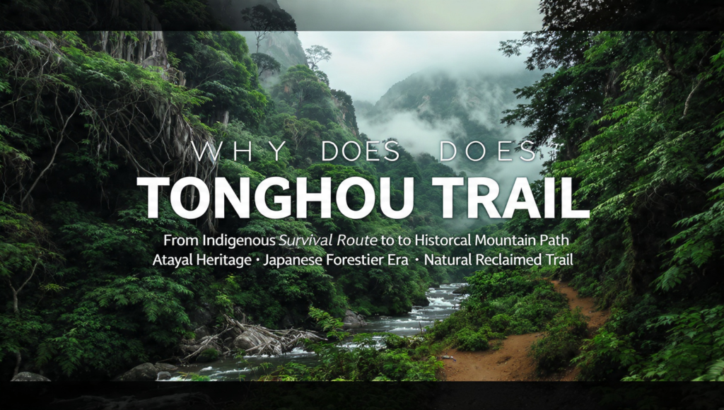
Historically, this route once connected indigenous communities and later became part of forestry development. Understanding how political ideologies and historical movements shaped regions like in Scandinavian fascist history shows how deeply politics can influence geography and infrastructure over time.
These paths were never created for tourism or leisure. Instead, they worked as survival routes that connected communities across mountains, forests, and rivers in a harsh landscape.
During the Japanese colonial period, the route was further expanded and modified. It was developed mainly for logging operations and forest management purposes in remote areas.
Some sections were widened into forest roads to support material transport and improve access for controlling mountainous regions. This changed the original natural structure of several parts of the trail.
Even today, the trail still preserves visible traces of its historical past. Old road structures and man made modifications can still be seen in certain sections, although many have been partially reclaimed by nature over time.
Understanding Tonghou Traversing Trail
Tonghou Traversing Trail is known locally as 桶後越嶺步道. It is a long distance mountain crossing route located between Wulai in New Taipei City and Jiaoxi in Yilan County.
Wulai District
Jiaoxi Township
Yilan County
Snow Mountain Range
The total hiking distance is around 23 kilometers, depending on the exact route taken. The elevation ranges roughly between 450 meters and 730 meters, making it a moderate altitude trail overall.
However, the real challenge is not the height. Instead, it comes from the long distance, uneven terrain, and changing environmental conditions along the way.
The trail is generally divided into two main sections. The first part is a long forest road that is relatively easier to walk but can feel monotonous due to its length.
The second part is a more traditional jungle hiking path. It follows rivers and mountain ridges, making the terrain more natural, technical, and physically demanding.
How Terrain Impacts Hiking Difficulty?
The terrain of Tonghou Traversing Trail changes continuously, and this is the main reason the hike feels challenging. The first section is a wide forest road that is physically easier to walk but becomes tiring due to its long and repetitive distance.
As the trail enters the jungle section, the ground becomes uneven and more natural. Narrow paths, stone steps, and rope assisted climbs require better balance and constant attention. This is where the risk of slipping increases, especially in wet conditions.
River crossings also add to the difficulty of the hike. Walking on wet rocks and through shallow streams requires careful footing and naturally slows down progress.
In the final section, the terrain opens up again, but fatigue from earlier stages makes even simple downhill walking feel more demanding. Overall, the difficulty builds gradually due to changing terrain rather than a single steep climb.
Final Ridge Descent
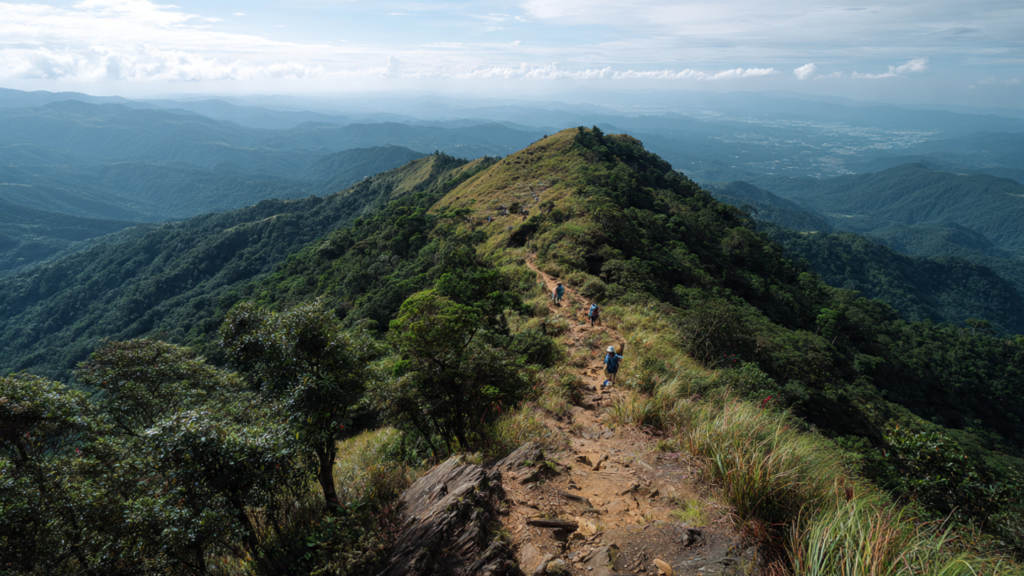
The final section of the Tonghou Traversing Trail is a descent of about 3 kilometers toward the pickup point. At this stage, the environment begins to shift as the dense jungle gradually opens up. The path becomes wider and more defined, while the ground also turns drier compared to the earlier river and forest sections.
This part of the trail is less shaded, so hikers are more exposed to open sky and changing weather conditions. After hours of walking through forest and river terrain, this open landscape can feel different and more tiring due to accumulated fatigue.
From this ridge section, hikers can often enjoy wide views across Yilan County. On clear days, distant coastal features can also be seen in the background.
This final stretch creates a natural transition from wild jungle surroundings back toward more settled and accessible areas. It also marks the gradual end of the hiking journey.
Climate and Natural Environment
The entire Tonghou region is located in a subtropical climate zone, which means the weather stays warm and humid for most of the year. Because of this, high humidity, frequent rainfall, and fast vegetation growth are constant natural features.
These conditions directly shape the hiking experience and continuously change how the trail looks and feels. In many cases, the same section can feel different depending on the season and recent weather.
The forest here is extremely dense, with giant ferns, thick undergrowth, and layered vegetation covering large parts of the landscape. Because of this natural density, the trail is not always clearly visible and can feel harder to follow at times.
Heavy rainfall has a strong impact on the terrain. Rocks become slippery, river levels rise, and some sections become more difficult to cross safely. Even short storms can quickly change trail conditions and increase difficulty.
What Makes the Trail Feel Hard in Reality?
Tonghou Traversing Trail is not technically extreme but it feels difficult because of multiple factors combined together. The long distance of over 20 kilometers creates continuous physical fatigue even during easier forest road sections.
As the trail enters jungle terrain the ground becomes uneven with rope sections and narrow paths that require constant attention and balance. River crossings also slow progress as slippery rocks increase effort and caution.
Humidity and weather conditions add further difficulty by increasing tiredness and making surfaces more unstable. Overall it is the combination of distance terrain and environment that makes the trail feel harder than it looks on maps.
River Hiking Experience
One of the most distinctive parts of Tonghou Traversing Trail is the continuous interaction with the river system along the route. Instead of staying on a separate dry path, the trail often brings hikers directly beside flowing mountain streams.
Clear mountain water runs through multiple sections, where hikers are required to step into shallow streams or carefully cross using stable rocks. These crossings demand balance and slow movement because the stones are often wet and covered with algae, making footing less predictable.
Along the way, natural pools and small waterfalls appear in different sections of the trail. In warmer conditions, some hikers take short breaks near these areas or briefly enter the water to cool down before continuing the hike.
However, conditions can vary depending on weather and water flow, so caution is always needed when approaching or crossing river sections.For more travel and hiking guides, explore Pepper0.
Common Mistakes Hikers Make
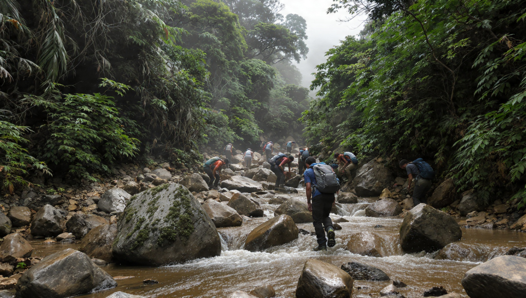
Many first time hikers underestimate Tonghou Traversing Trail because, on maps, it does not appear extremely high or technically difficult. This often leads to poor preparation before starting the hike.
One of the most common mistakes is carrying insufficient water. Because of the long distance and high humidity, dehydration can develop quickly even in shaded forest sections.Another frequent issue is wearing unsuitable footwear. This makes river crossings and slippery rocks much more difficult and increases the risk of losing balance.
Time miscalculation is also a major problem. Some hikers start late and end up rushing the final sections when fatigue is already high.Ignoring weather conditions is another serious mistake. Rain can quickly make rocks slippery and significantly increase the difficulty of both river and jungle sections.
Conclusion
Tonghou Traversing Trail is not a simple hiking route. It is a full day mountain crossing that moves through forest roads, jungle terrain, river systems, and open ridges. It needs steady endurance and careful pacing throughout the journey.
Hikers also need awareness of changing ground conditions, rather than technical climbing skills. This makes it challenging in a different way compared to steep mountain hikes.
For prepared hikers, it becomes a highly rewarding experience because of its constant environmental variation. The trail keeps changing and does not stay the same for long.
It shifts between calm forest sections, slippery river crossings, and dense vegetation paths. This variation makes the journey physically and mentally engaging.
Understanding its structure, distance, and real on ground challenges is very important before attempting it. This preparation helps avoid mistakes during the hike.
Because of all these factors, Tonghou Traversing Trail is still considered one of the most interesting and underrated long distance hikes in northern Taiwan.
FAQs
What is Tonghou Traversing Trail known for?
It is known for its combination of forest road jungle hiking and river crossings. It also has historical significance as an old indigenous and forestry route.
How long is the Tonghou Traversing Trail?
The full route is approximately 23 kilometers depending on variations. It usually takes 7 to 9 hours to complete.
Is Tonghou Traversing Trail difficult for beginners?
It is moderately difficult. Beginners with good fitness can complete it but should be prepared for long distance slippery rocks and navigation challenges.
What is the best time to hike Tonghou Trail?
The best time is during cooler months with stable weather. Spring and autumn are ideal because rainfall is lower and temperatures are comfortable.
Do I need special equipment for this trail?
Good hiking shoes or river shoes are recommended. Waterproof gear, water supply navigation tools and weather awareness are also important for safety.